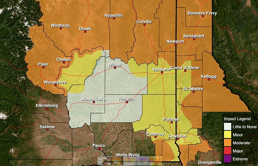
Lohmann: Inland Northwest Expected To Get Hot
After temperatures this week near normal for much of the region, it’s expected to get hot starting Wednesday. Marilyn Lohmann meteorologist with the National Weather Service said while we should see our temps start to climb this time of year, this will be a little too much with forecast highs 10-15 degrees above average.
“We do have an unusually strong high pressure system that’s going to be edging into the Pacific Northwest. And in fact the heat will be not only be east of the Cascades, which is kind of more normal and use to over here, but the west side of Washington and Oregon will be quite warm as well.”
Lohmann added with these hot temperatures, the region should be free of rain, with the exception of extreme northern Washington, which could see isolated showers, and perhaps thundershowers. She added they initially thought this extreme heat would be short-lived, but now it looks like it’s going to set up camp for the next couple of weeks.
“Maybe not the extreme heat with the temperatures in the upper 90's and 100's like we’re use to sometime in July, but definitely warmer than normal. At least 5-10 degrees overall.”
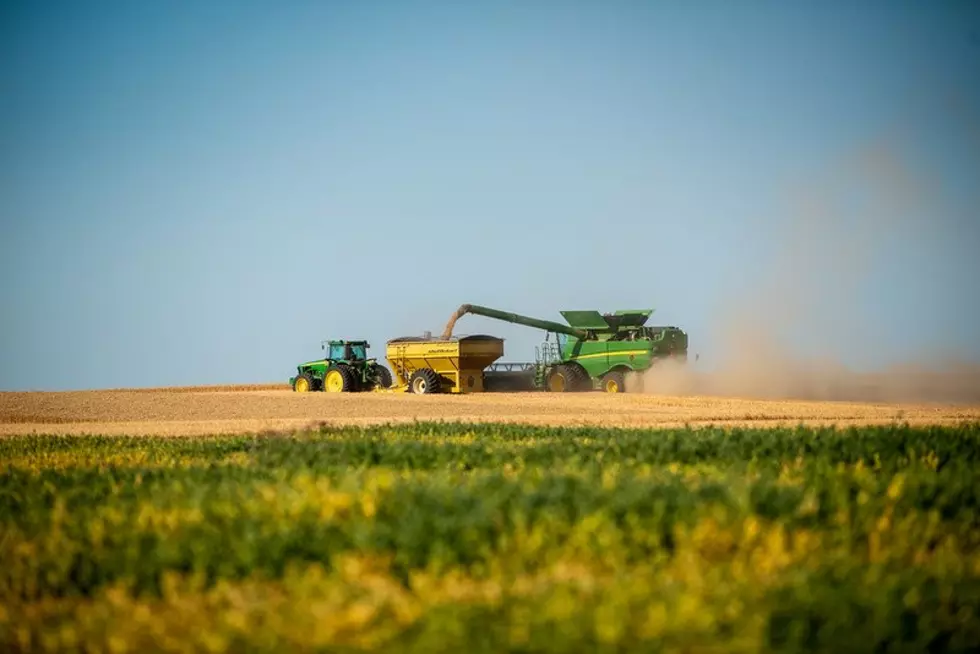
Lohmann noted the warm highs, and even mild lows over the next couple of days should help growers who missed out on degree days earlier this spring.
If you have a story idea for the Washington Ag Network, call (509) 547-1618, or e-mail gvaagen@cherrycreekradio.com
More From PNW Ag Network