Lohmann: Active Pattern Returning To The Northwest
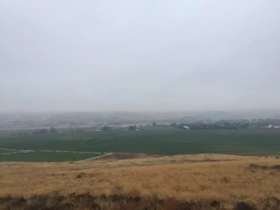
The early October weather in many ways has been perfect for the ag community and outdoor enthusiasts alike, enjoying sunny, warm days, with cool overnight temperatures. But, it looks like that pattern will change for the next week.
Marilyn Lohman with the National Weather Service said after a few weeks of stability, we’ll see our weather pattern become more active. Which means the Northwest will see a system roll in every 36 to 48 hours.
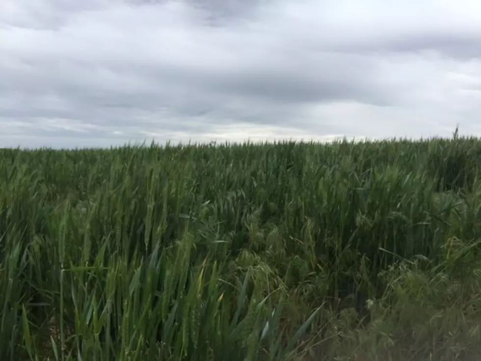
“With them, they will bring light rain to a lot of the area, as well as some breezy winds that we always seem to get. And through the weekend, we’ll see snow elevations lower to around 4,000’ to 5,000’”
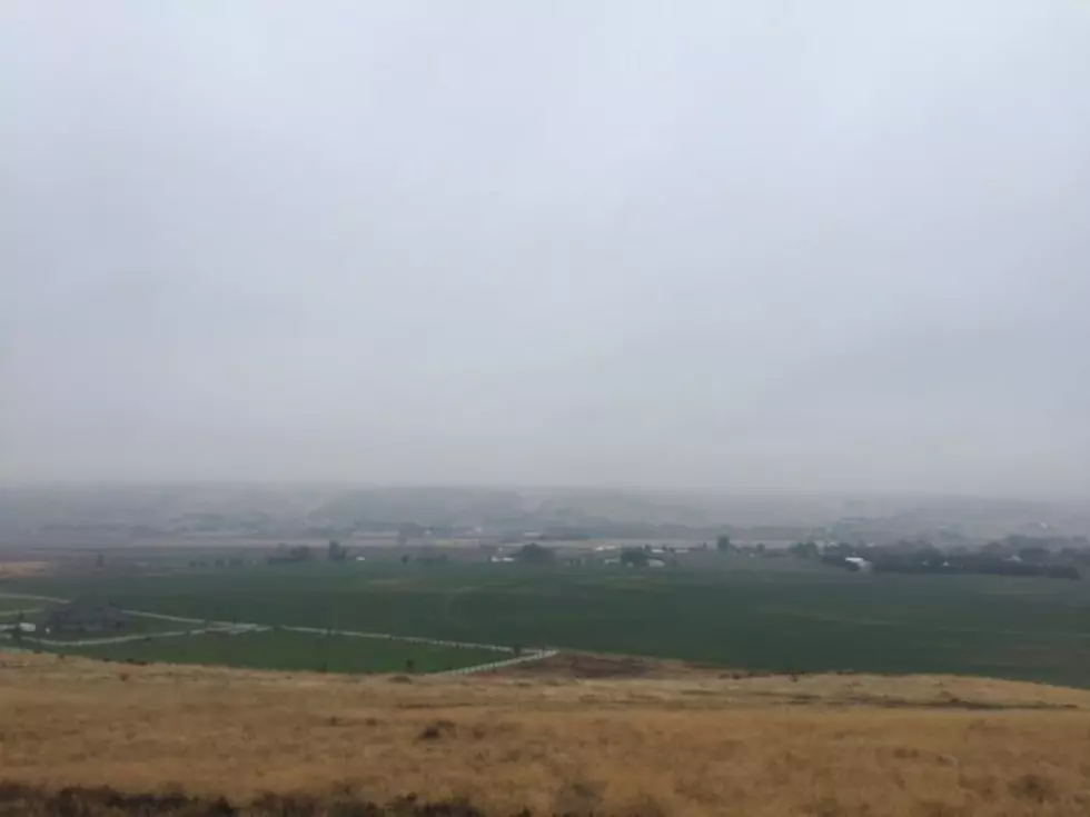
Lohmann said this weather patterns of wetter, cooler conditions is much more typical for mid- to late-October. But, as Marilyn was mentioning, we saw a few showers over the past week or two, what has that done to the 2019 precipitation totals?
“Areas closer in to the mountain type areas, like Yakima and Pendleton are running almost two inches above normal, but then the lower basin areas, like Pasco and then on up north to Moses Lake and that area are running ½” to almost ¾” below normal.”
While some areas are a little dry for this time of year, Lohmann says it’s not bad compared to years past.
If you have a story idea for the Washington Ag Network, call (509) 547-1618, or e-mail gvaagen@cherrycreekradio.com
More From PNW Ag Network