Lohmann: Area Very Dry, But That May Change As 2019 Draws To A Close
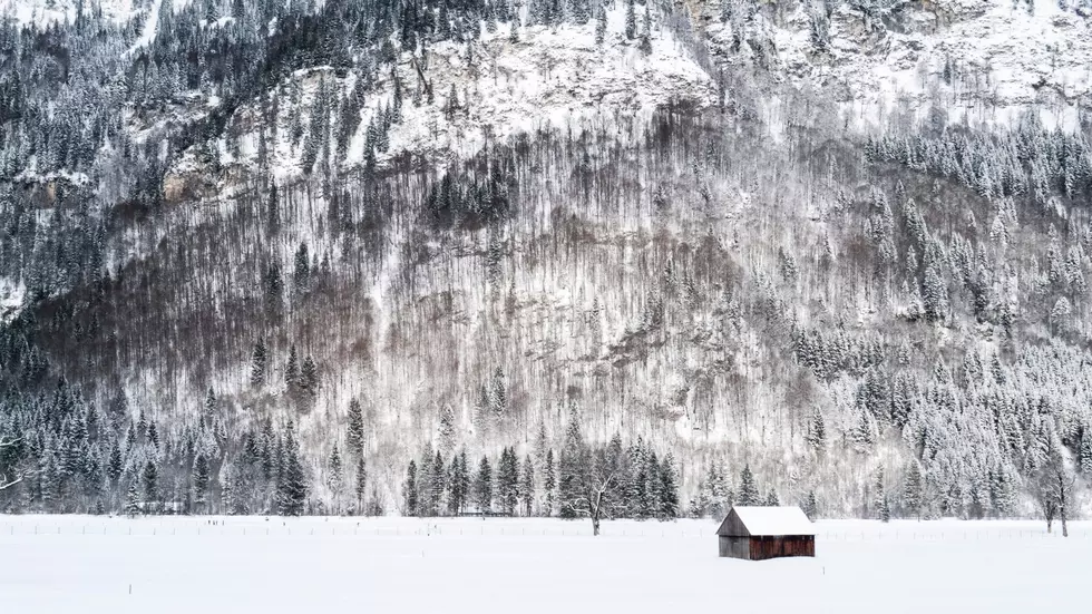
Not only is the snowpack well off where it should be for this time of year, it’s dry across most of the Inland Northwest. The National Weather Service’s Marilyn Lohmann says for the calendar year, we’re at roughly 75% of average. However, for the water year, which started October 1st, the area is 25%-30% of normal.
So, where are all of the fall weather systems that should bring us rain? Lohmann said a high pressure system anchored in the eastern Pacific is pushing those rain makers south to California and Arizona.
“Large amounts of rainfall in fact some flooding with it. And some [of those systems] have been deflected into Canada, and a lot of them even as far north as Alaska they’ve had a lot of very strong weather going into that region over the past couple of months.”
Lohmann is hopeful that ridge of high pressure will weaken a little bit in the coming days, allowing a few systems to make their way into the Inland Northwest. She said the next seven to ten days will be fairly active, with a systems expected to roll in every four days or so. And temperatures as well as precipitation levels are expected to be above normal for the next couple of weeks.
As we look long term toward January, “above normal temperatures, and near to above normal precipitation." Lohmann said. "So, we’ll hope that that holds true as well as we start to see some really good moisture roll through the area.”
If you have a story idea for the Washington Ag Network, call (509) 547-1618, or e-mail gvaagen@cherrycreekradio.com
More From PNW Ag Network


