Weekend Storm Helps Washington Snowpack Recover, Slightly
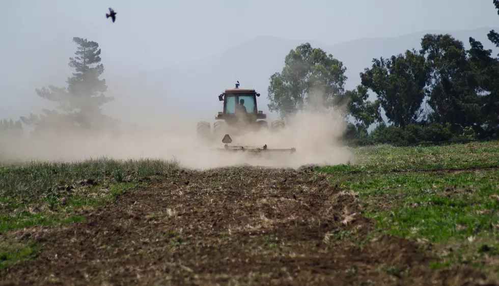
The Washington snowpack is not in good shape.
Figures statewide are so low, some are comparing this year to 2015, the last time Washington experienced a statewide drought.
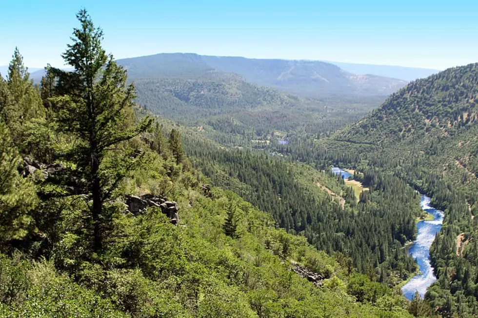
While snow totals are off where they should be for this time of year, the NRCS’ Scott Pattee said the weekend storm that moved across the northwest increase the statewide snowpack by nearly 10% in just a week. And the good news is most basins across the Evergreen state received snow.
“The Blues probably got the least amount of snow, unfortunately the Upper Yakima….well part of it, the section that’s right up on the east slope of the Cascades got descent snow, but as you come further down the basin they didn’t fair quite so well. The Okanogan, they kind of drug as well.”
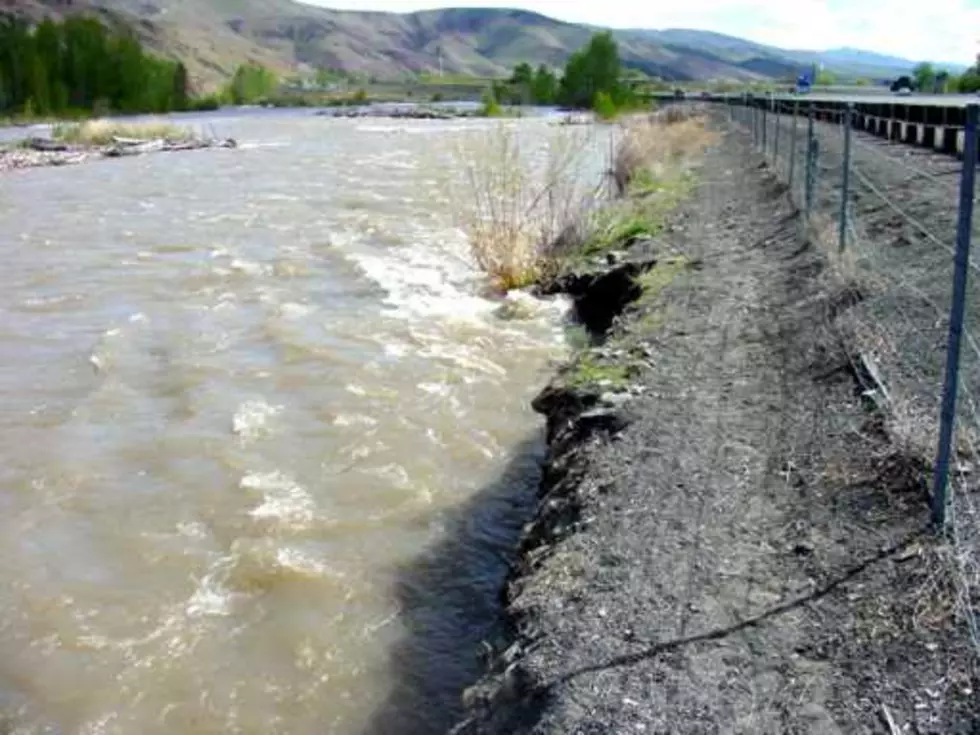
Pattee added the statewide snowpack is currently 57% of average, and the average need to hit 80% for an adequate water supply for the upcoming summer.
"That’s kind of our goal that we’re looking for. The odds at this point in time of catching up are pretty slim still, I mean we would have to be just dumped on from here all the way through the end of February.”
Pattee added January into February is when the Northwest sees roughly 40% of the seasonal snow fall, so hope is not lost. But he added something else of concern is the long-term temperatures, which could move the snow level up even higher, making it more challenging to recharge reservoirs statewide.
If you have a story idea for the Washington Ag Network, call (509) 547-1618, or e-mail gvaagen@cherrycreekradio.com
More From PNW Ag Network