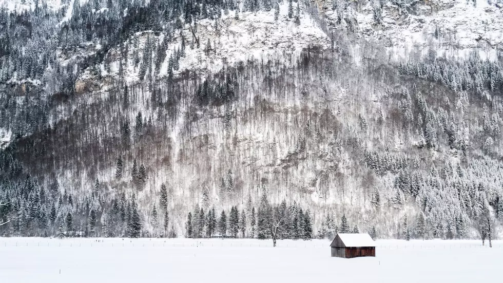
Lohmann: February Looks Like A Roller Coaster
After a very wet and very active January, it looks like things will calm down weather wise across the Inland Northwest, once we get through Wednesday. Marilyn Lohmann with the National Weather Service says the area will see a fast moving system Wednesday and early Thursday that could bring measurable snow to several portions of the Northwest, especially in the higher elevations and the Palouse. But, after these systems, Lohmann expects colder weather to return.
“It will be a little bit of a shock to the system I think because we’ve been getting use to these mild conditions again," Lohmann said. "It will be a very fast moving system, and after that dry, but cooler for the weekend.”
Will we see a repeat of the massive snow event we saw in February 2019, Lohmann doesn't expect that. But what to expect for the weeks ahead, that’s a little more challenging. She says their weather models have provided no direction, so she says we should anticipate a little of every February has to offer.
“We’ll have some warm, we’ll have some cold, and the same thing with precipitation, kind of expect seasonal precipitation. Systems moving through at times, some may produce some heavy precip, but right now, it does look like throughout the month, things will be pretty changeable.”
If you have a story idea for the Washington Ag Network, call (509) 547-1618, or e-mail gvaagen@cherrycreekradio.com
More From PNW Ag Network