Oregon Snowpack Reported “Dramatic Growth” In January
Much like Washington, January was a good moth for the snowpack in Oregon. Scott Oviatt with NRCS says the statewide snowpack increased from 45% on January 1st to 97% on February 1st. He noted eastern Oregon saw the biggest gains in January.
“If you drew a line from the Owyhee Basin northwestward to The Dalles, everything is above or well above normal, in terms of snowpack as well as water year precipitation, just due to where those storms impacted.”
How does the snowpack stack up in the different basins across the state?
- The Umatilla, Walla Walla 132% of average
- The Grande Ronde, Power, Burnt, Imnaha 124% of average
- John Day 114% of average
- Malhuer 114% of average
- Owyhee 118% of average
- Harney 106% of average
- The Upper Deschutes, Crooked Basin 94% of average
- The Hood, Sandy, Lower Deschutes 85% of average
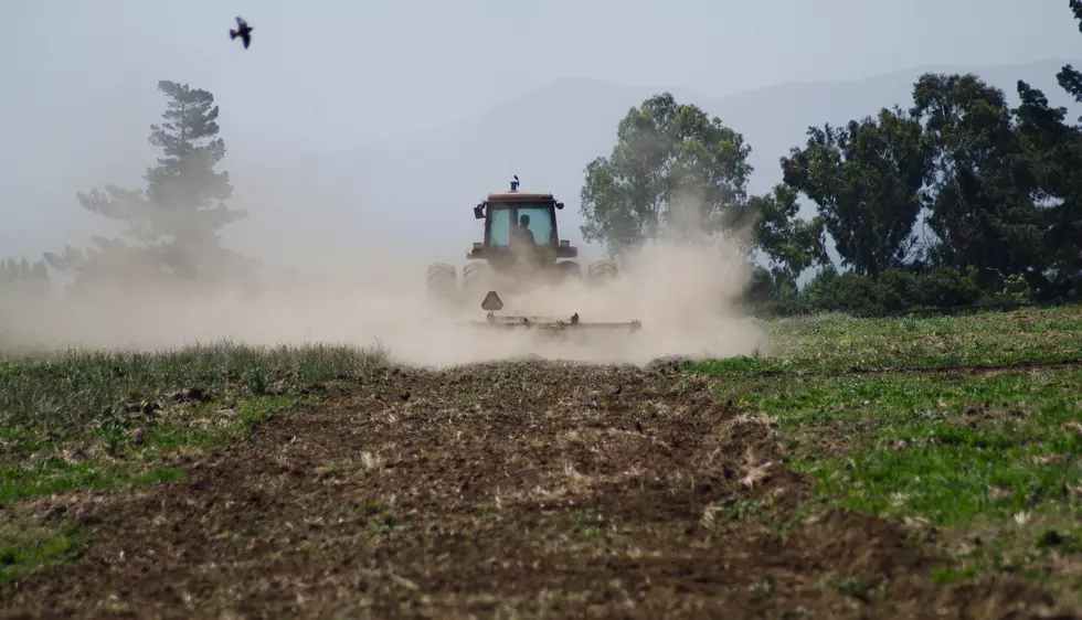
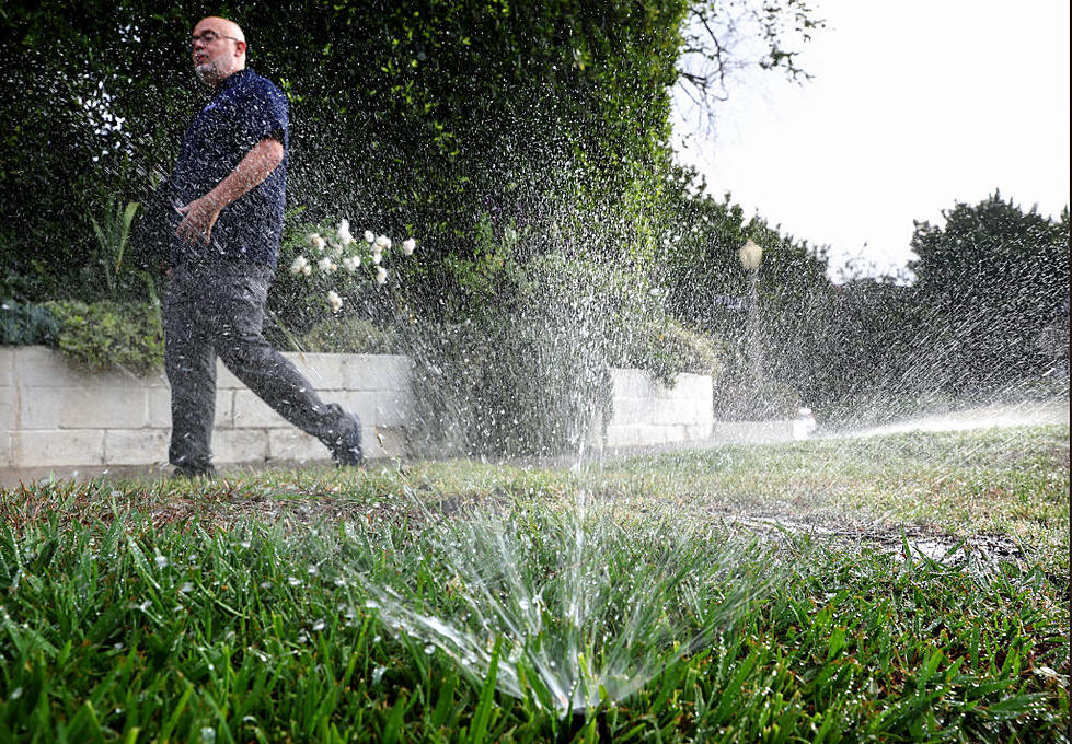
Oviatt noted western Oregon did not fare as well, with many snowpacks still lagging behind. Does last month’s healthy rebound mean the state is in good shape for irrigation season?
Oviatt says it’s still too early to tell.
“The concern would be if we have more of these warm systems, or if we don’t have storm impacts, the positive would be if we stay cooler and keep getting high elevation snow. So, it’s still at the coin flip stage, in that we’re at normal conditions now, we’d like to be a little bit above normal to ensure that we have adequate water supplies spring and early summer.”
Oviatt said the peak of the Oregon snowpack does not come, typically, until March 15th.
If you have a story idea for the Washington Ag Network, call (509) 547-1618, or e-mail gvaagen@cherrycreekradio.com
More From PNW Ag Network