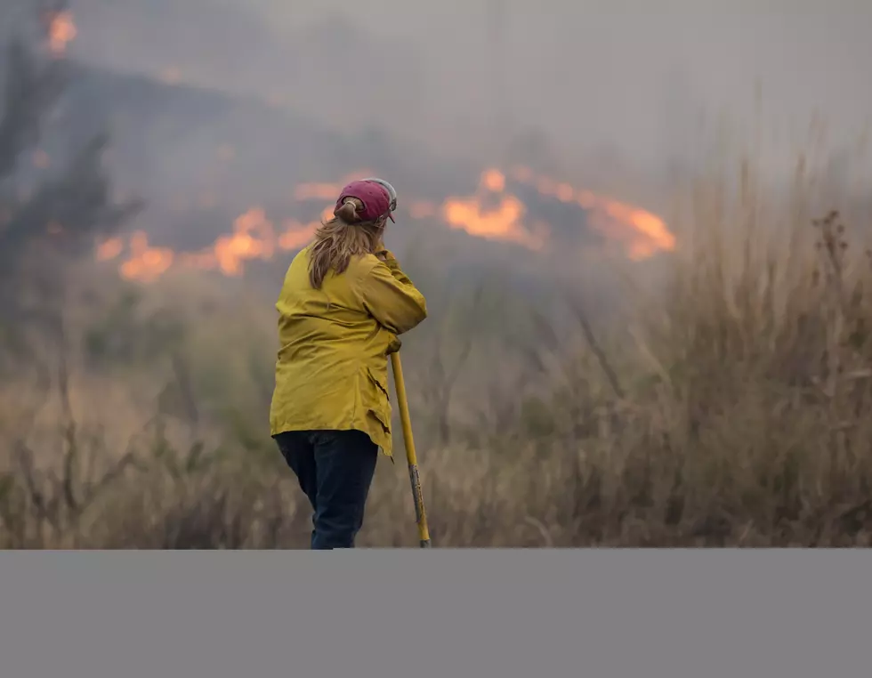
Despite Damp Conditions, Much Of Inland Northwest Remains Dry

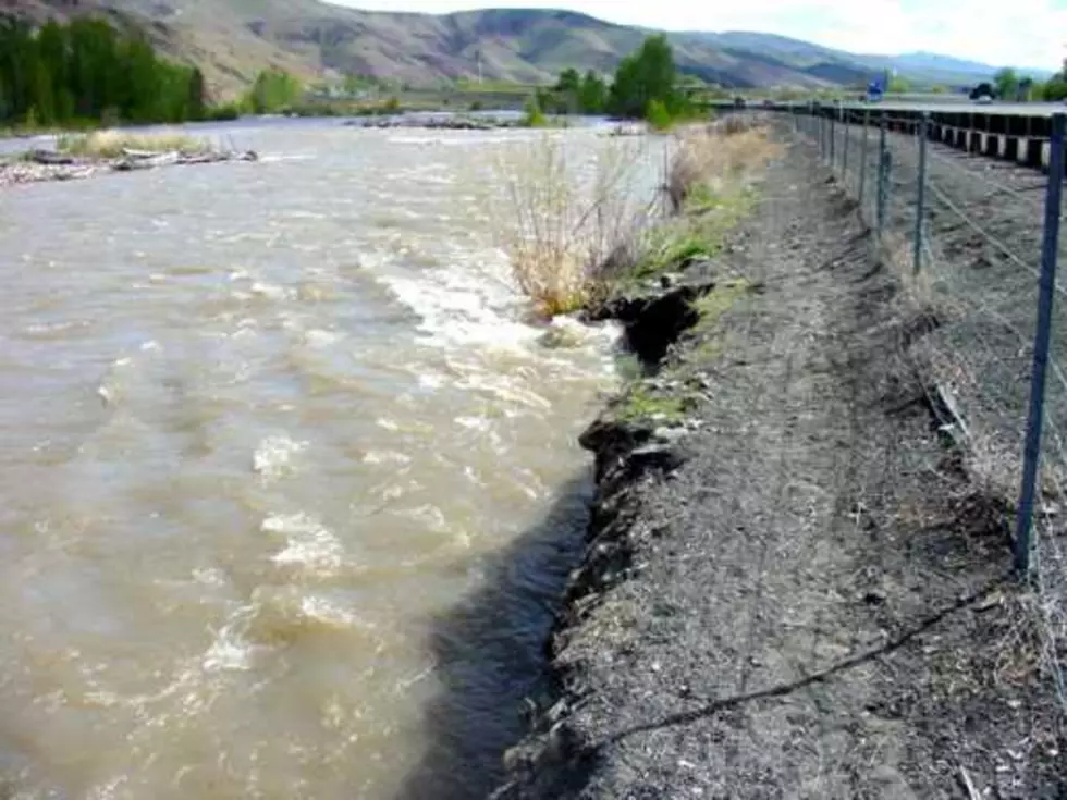
For many across the Inland Northwest, June continued the weather pattern established in late May of a few days of warm weather, followed by showers and a drop in temperatures, and then the cycle starts again.
Marilyn Lohmann, meteorologist with the National Weather Service says while much of the first ten days of June have felt cloudy and damp, rain totals have not been that impressive. And she noted the east v. west different in rain totals remains in effect.
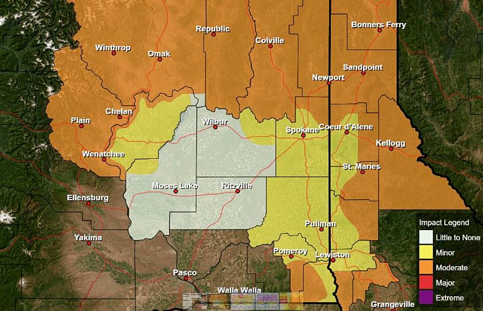
“You know, you could kind of draw a line from Wenatchee to Yakima and on to the Columbia River, and anything and anything on the east side of that is definitely on the dry side until you get way over into the foothills and the Palouse, that area still continues to see well below normal precipitation even with those heavier rains that we saw at the end of May.”
Lohmann said those dry conditions are evident when looking at the latest drought numbers which has much of central Washington and Oregon under the D2 or Severe Drought designation. Lohmann said the region will continue to see this active weather patterns over the next week plus, with isolated showers every couple of days. But with the first day of summer just around the corner [June 20th] she says it won’t be much longer until the region warms up nicely.
If you have a story idea for the Washington Ag Network, call (509) 547-1618, or e-mail gvaagen@cherrycreekradio.com
More From PNW Ag Network