Lohmann: Dry Weather Expected To Start Summer
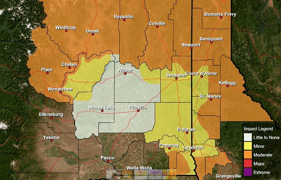
Summer officially starts on Saturday, and for many in the Ag industry, the change of seasons will bring a welcomed change in weather. After a very dry start to spring, the past six weeks have been very wet and occasionally cool. In fact, Marilyn Lohman, meteorologist with the National Weather Service said over the past seven days, several locations across the Inland Northwest received ¼” to ½” of rain, with some locations reporting over an inch. She noted the productive week was beneficial for the top soil moisture numbers.
“Some of the satellite moisture indicators still show some dry, especially in the root zone and deeper are still fairly dry. Generally that area is west of the Tri-Cities, to the Yakima area. So, unfortunately that area that’s been kind of low all year, continues to be low.”
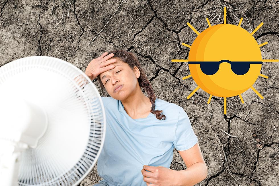
But Lohmann said it looks like those showers and cooler weather will move out of the area, which is good news for cherry and hay growers. She expects starting Thursday dryer weather to move in and stay in place through the middle portion of the following week. And during this dry spell, some locations could see temperatures in the low to mid-90s.
When it comes to the long-term summer weather forecast, the expectation is for above normal temperatures and below normal precipitation.
If you have a story idea for the Washington Ag Network, call (509) 547-1618, or e-mail gvaagen@cherrycreekmedia.com
More From PNW Ag Network