Lohmann: Heat Breaks Just Ahead of Weekend, Returns Next Week For Round Two

If the dog days of summer aren’t here, they are officially on their way.
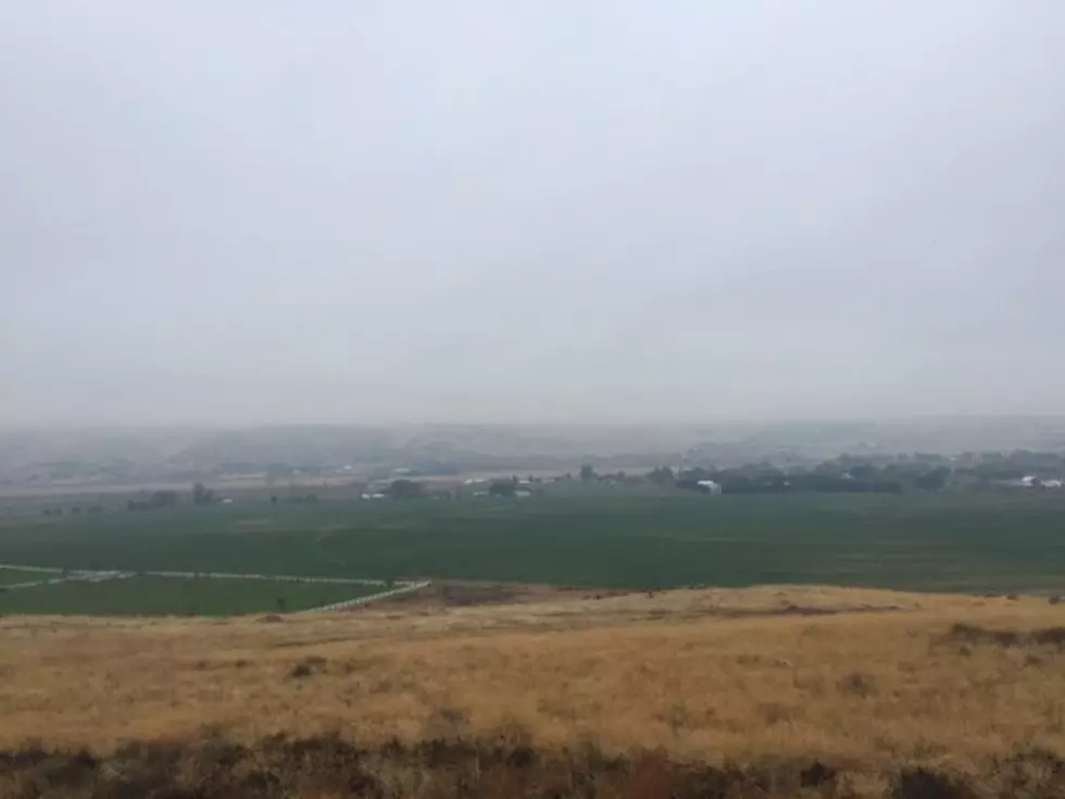
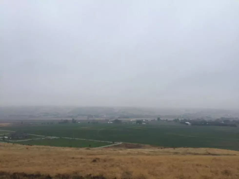
Temperatures across the Inland Northwest soared into the mid-90s to low-100s, as a ridge of High pressure moved in from the Pacific, allowing hot desert air to migrate up from the Southwest. Marilyn Lohmann, meteorologist with the National Weather Service said triple digits aren’t uncommon in late July, but this heat wave feels unique.
“It’s feeling so much hotter too because looking back over the spring and the early parts of the summer, we were actually so much cooler than normal for several weeks at a time. So, it does tend to hit us, a lot of people not use to having these temperatures over 100.”
If you’re a fan of this hot weather, enjoy it while you can, because Lohmann said a Low pressure trough will roll into the area, brining clouds, windy and slightly cooler weather. But she noted, the upper 90s and century mark will return next week as another High Pressure system moves in.
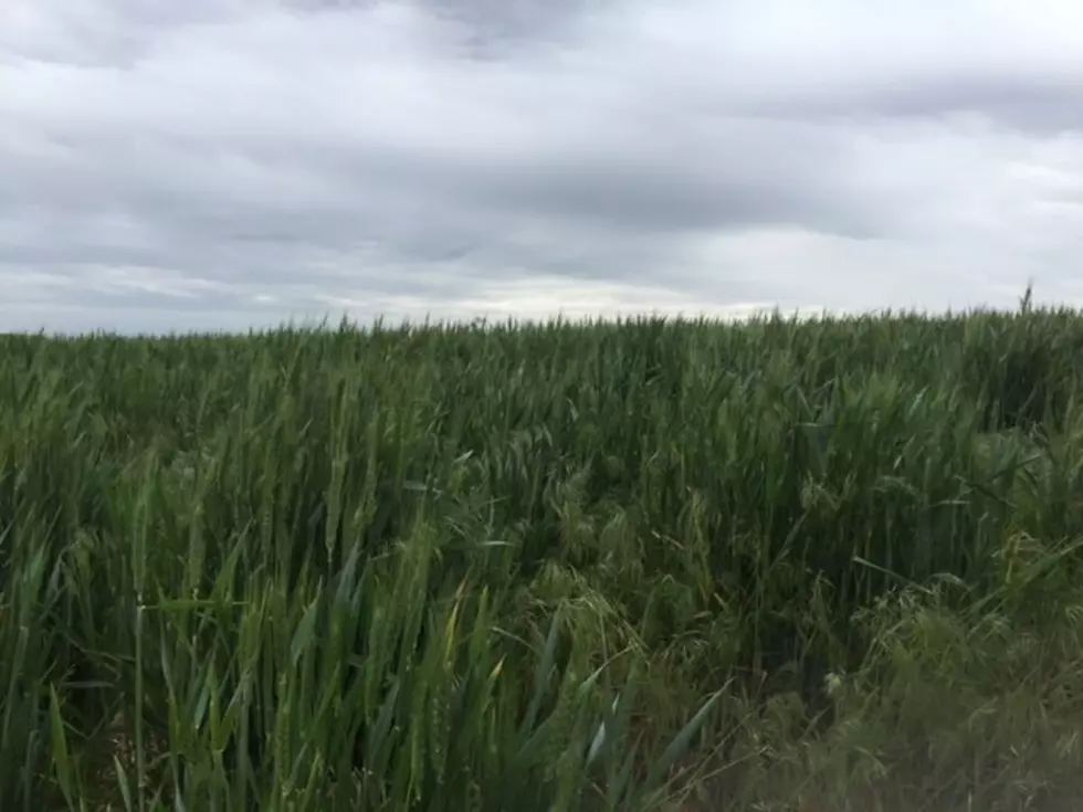
What is this hot dry weather doing to our soil temperatures and moisture levels? You can listen to our entire conversation with Lohmann below:
If you have a story idea for the Washington Ag Network, call (509) 547-1618, or e-mail gvaagen@cherrycreekmedia.com
More From PNW Ag Network