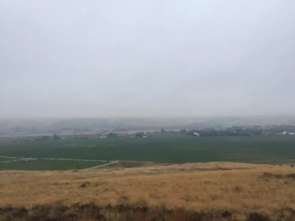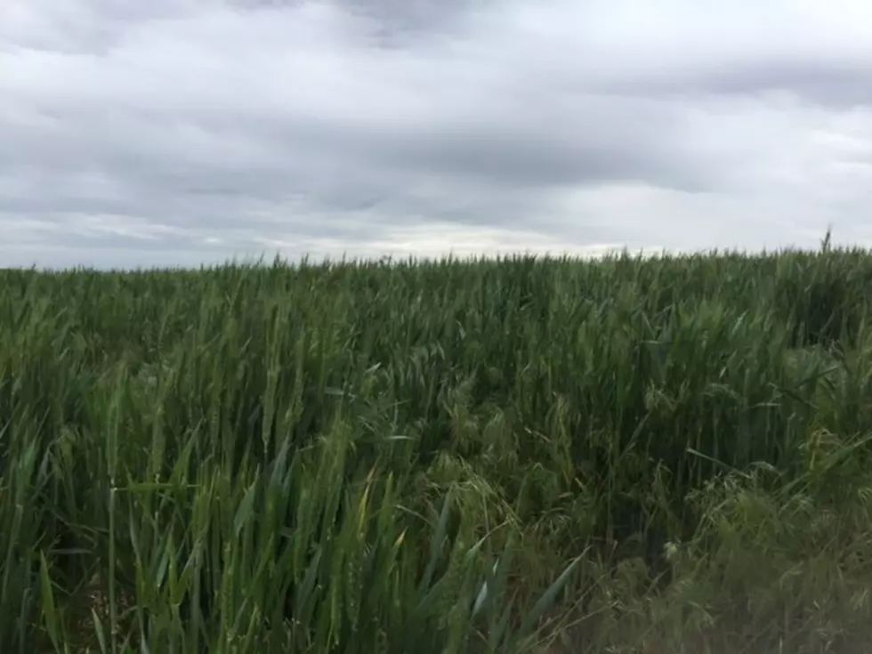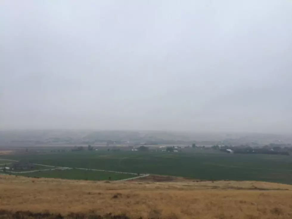
Above Average Heat Expected To Continue Through Remainder Of August
Weather has taken a turn for the active across the northwest over recent days. Thanks to a dominate ridge of high pressure situated over the Four Corners region, we’ve seen temperatures soar into the triple digits, with afternoon and overnight thunderstorms. Marilyn Lohmann with the National Weather Service said she does not anticipate this extreme heat to last much longer. She added as we prepare to transition into September, the Northwest atmosphere will start to cool.
“We’re losing three minutes of daylight per day so over the month of August, we’ve lost almost an hour and a half. And definitely the sun angle is starting its journey south, so even through it seems high in the sky, and it’s just kind of beating on us, during those hot days, that change in sun angle and those extra hours of nighttime and cooler temperatures sure make it a lot more tolerable.”
But that does not mean the area is immune to occasional 90 degree readings in September. In fact, Lohman expects above average temperatures now through Labor Day weekend. But she noted the likelihood of temperatures above 100 degrees drops considerably as we move into late August.
If you have a story idea for the PNW Ag Network, call (509) 547-1618, or e-mail gvaagen@cherrycreekmedia.com
More From PNW Ag Network