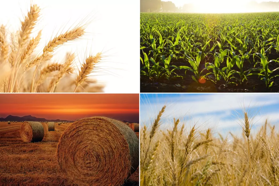
National Weather Service: La Niña is Officially Here
After months of observation, USDA meteorologist Brad Rippey said it was made official last week, that La Niña has developed in the southern Pacific Ocean. He noted that will not only impact weather in the Northwest and U.S., but globally as well. Rippey noted La Niña most likely is the reason we've see drought numbers across the U.S. jump up so much in the past year.
"One thing that we've been seeing across the United States is an increase in drought coverage," said Rippey. "We had only about one -tenth of the country in drought as recently as February, and we have seen a sharp increase in drought coverage to about 40% at present."
Another La Niña impact is a very active Atlantic hurricane season.
"We are on a record setting pace in terms of the number of named storms and we see no signs of that abating," Rippey added. "It's a literal storm train of waves coming off the African coast.."
La Niña typically means a cooler than normal and a wetter than normal winter for the Northwest.
If you have a story idea for the PNW Ag Network, call (509) 547-1618, or e-mail gvaagen@cherrycreekmedia.com
More From PNW Ag Network