Will La Niña Bring Rain Or Snow?
We’re officially in fall, and it looks like we’ll have our first taste of fall weather this coming weekend.
But as we look to the next three months, what can we expect?
The National Weather Service says a La Niña has developed off the coast of South America. NWS meteorologist Marilyn Lohmann said at this point, it’s hard to tell what impact that will have on the Northwest. The biggest thing, she noted, is how variable a La Niña pattern can be.
“The biggest thing that we can take away from the La Niña is that northerly storm track that should bring in more precipitation. But then always what’s not certain is if we’re going to be cooler than normal or warmer than normal where it’s more liquid or if we get hit with a lot of snow.”
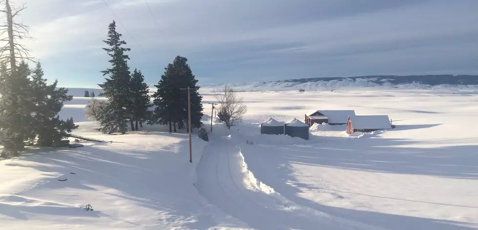
Right now, looks like warm temperatures which means rain, but as Lohmann pointed out that can change as we get into the cooler time of year. The last two La Niñas occurred during the winters of 2016/17 and 2017/18, with the prior generating record amount of snow across the region.
In the more immediate forecast, Lohmann said a fairly strong system is going to roll in to the Northwest this weekend, bringing winds and a light amount of precipitation.
If you have a story idea for the PNW Ag Network, call (509) 547-1618, or e-mail gvaagen@cherrycreekmedia.com
More From PNW Ag Network