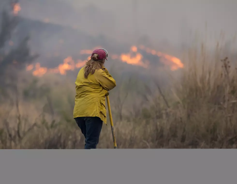
Wet Weather Expected Starting Thursday
Temperatures have been very warm across the Northwest. In fact many regions have reported daytime highs anywhere between 10-15 degrees above average for this time of year. Marilyn Lohmann, meteorologist with the National Weather Service said this late summer blast is thanks to High Pressure which has been parked over the western U.S. for several weeks. But, it looks like that protection will start to break down as early as Thursday.
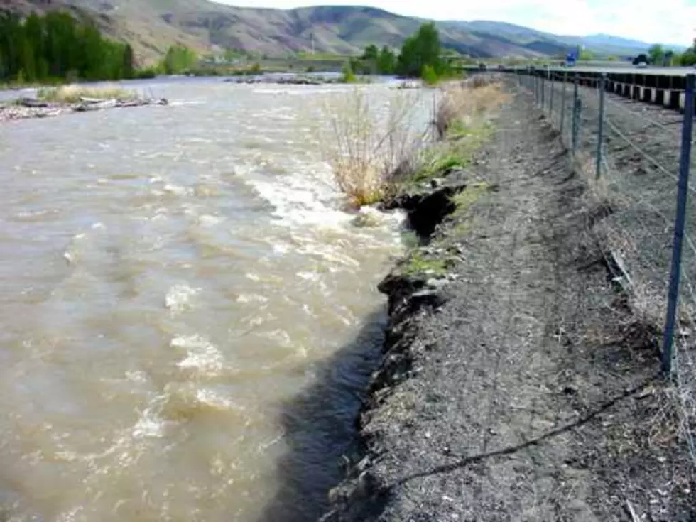
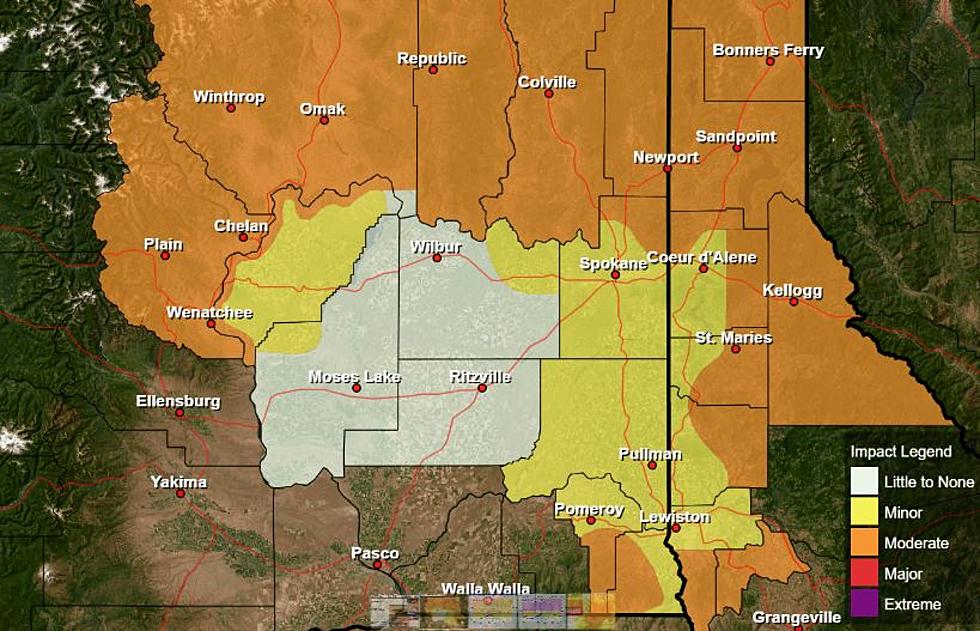
Lohmann said a wet system will roll into the area, bringing the opportunity for moderate to even heavy rain showers.
“Of course, the rain shadowed areas from Wenatchee, Yakima into the lower parts of the [Columbia] Basin, may see around 0.10” to up to 0.25” of rain. That may not sound like much, but in their scheme of things it’s actually pretty good amount of precipitation. The foothills will do much better, with amounts around 0.25” or more, and on over to the Palouse, that area may even see up to an inch.”
Lohman added locations west of the Cascades could see 2”-4” of rain in this weekend’s storm. And the wet and warm weather is expected to continue for the next couple of days.
If you have a story idea for the PNW Ag Network, call (509) 547-1618, or e-mail gvaagen@cherrycreekmedia.com
More From PNW Ag Network