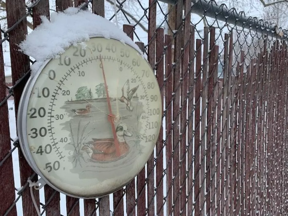
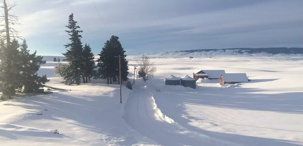
Lohmann: First Taste Of Winter Expected This Weekend
After a week of windy conditions, it looks like the Northwest is taking a turn; for the colder. Marilyn Lohmann with the National Weather Service said the windy conditions of the past ten days or so have been due to the Northwest being wedged between two large weather systems. But now it looks like that pattern will break down allowing rain showers to roll across the area Wednesday and Thursday. And then, a stronger system will hit the area starting Friday, and Lohmann said that system will stick with us through the weekend.
“That one will bring a mix or rain, and we could actually see some snow even down around areas less than 500’ on Saturday. Most of the precipitation will be done by early Saturday, but on Friday will see a mix of rain or snow. Snow levels around 1500’ so depending on where you are, you know, traveling over the pass it will probably be snow.”
Lohmann said temperatures over the weekend could drop into the teens and 20s for some areas. While temperatures will warm up slightly into next week, she anticipates cool weather will stay for the foreseeable future.
If you have a story idea for the PNW Ag Network, call (509) 547-1618, or e-mail gvaagen@cherrycreekmedia.com
More From PNW Ag Network