Dry Conditions Expected To Continue Across Eastern Oregon
After a dry second half of December, the rain and snow the northwest saw over the holiday weekend was a welcomed sight for many. And according to meteorologist Marilyn Lohmann with the National Weather Service, a weather pattern that will be leaving the area in the coming days.
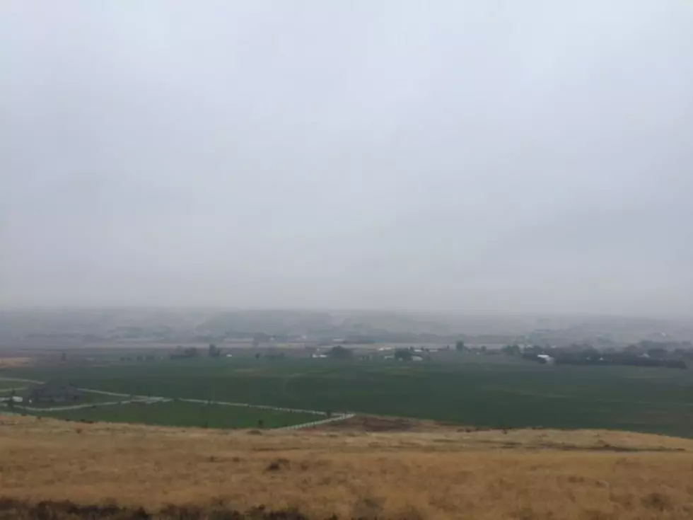
Lohmann said the storms over the New Year’s Day weekend greatly helped out western and northern Washington, with some areas seeing. But southern locations, specifically Oregon, did not get the rain. And Lohmann says that lack of precipitation is tough on central Oregon and north central Oregon, which has been dealing with dry conditions for over a year.
“D2 and D3 that going to be hard to remove. You know, it’s some very long-term drought. And also the south central and southeast part of the state have been fairly dry. So, unfortunately we’ve been making gains this winter, the snowpack is looking much better than we’ve seen in a while so there’s good hope that way.”
Will La Niña’s punch be felt in the coming days? Lohmann says don’t count on it. She said this active pattern will last for another week or so, then things will move north.
“And we’ll be looking at warmer than normal temperatures and right now it looks like dryer than normal. So, not unheard of in the wintertime but I know a lot of people especially this winter, especially after the conditions we saw this past summer with the fires and dust storms and all that were really hoping for a very soaking, soaking winter. But I think if we give everything a break, then maybe toward the end of the month it will come back a little bit and the storm pattern will shift again.”
If you have a story idea for the PNW Ag Network, call (509) 547-1618, or e-mail gvaagen@cherrycreekmedia.com
More From PNW Ag Network