Cooler Wetter Weather Expected As We Say Goodbye To January
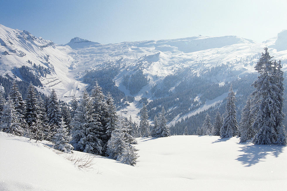
Things changed for the active across the Northwest over the past week or so, with temperatures dropping several degrees and systems rolling in brining snow to much of the area. Marilynn Lohmann, meteorologist with the National Weather Service says you can blame the storm track, which moved south for the wetter and colder weather. And while most of the area didn’t see large amounts of snow, Lohmann noted every little bit helps.
“Well these latest couple of storm systems have been very good for much of the area. Especially the southern and central mountains of Oregon and into the Cascades of both Washington and Oregon. Snowpack has been kind of on the low side this month but this should help the numbers look a little better as we end the month.”
Lohmann noted while not attributable to La Niña, the weather of the last week is more along the lines of what was expected. Lohmann added the Northwest will dry out as we head to the weekend, but a stronger system will move in Sunday and into next week, brining valley rain and mountain snow.
She expects above normal precipitation and below normal temperatures to starts February.
If you have a story idea for the PNW Ag Network, call (509) 547-1618, or e-mail gvaagen@cherrycreekmedia.com
More From PNW Ag Network