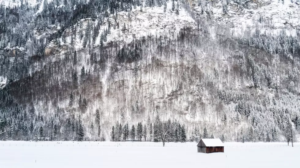
Northwest Should Prepare For Intense, Short Lived Cold Snap
After weeks of mild weather, old man winter will remind the northwest what season we’re in over the next couple of days. Marilyn Lohmann, meteorologist with the National Weather Service said the area has not seen very cold temperatures this winter thanks to a High pressure system parked off the west coast, but that High is starting to break down.
"It’s been enough that the really cold air has been on the eastside of the Rockies, but it’s kind of retrograding back to the west a little bit and that’s allowing that modified artic air to spill on down through northern Washington and on into Oregon, over the next, well it looks like a week of the really cold temperatures.”
Lohmann said not only will we see cold temperatures, but active weather as well, with the strongest systems expected Thursday/Friday and again over the weekend. Lohmann noted at this point, it looks like central Oregon stretching up to the Blues in the NE corner will see the lion’s share of the snow.
“Which is actually some really good news, because that part of the state has been very significant in the drought category, it just kind of gets missed every time we turn around. So, hopefully we’ll see some really beneficial mountain snowpack.”
Lohmann added the cold temperatures are expected to stick around into early next week. But by the 16th or 17th, temperatures across the Northwest are expected to start to moderate.
Lohmann added the long range forecast calls for below normal temperatures and above precipitation across the region throughout the rest of February.
If you have a story idea for the PNW Ag Network, call (509) 547-1618, or e-mail gvaagen@cherrycreekmedia.com
More From PNW Ag Network