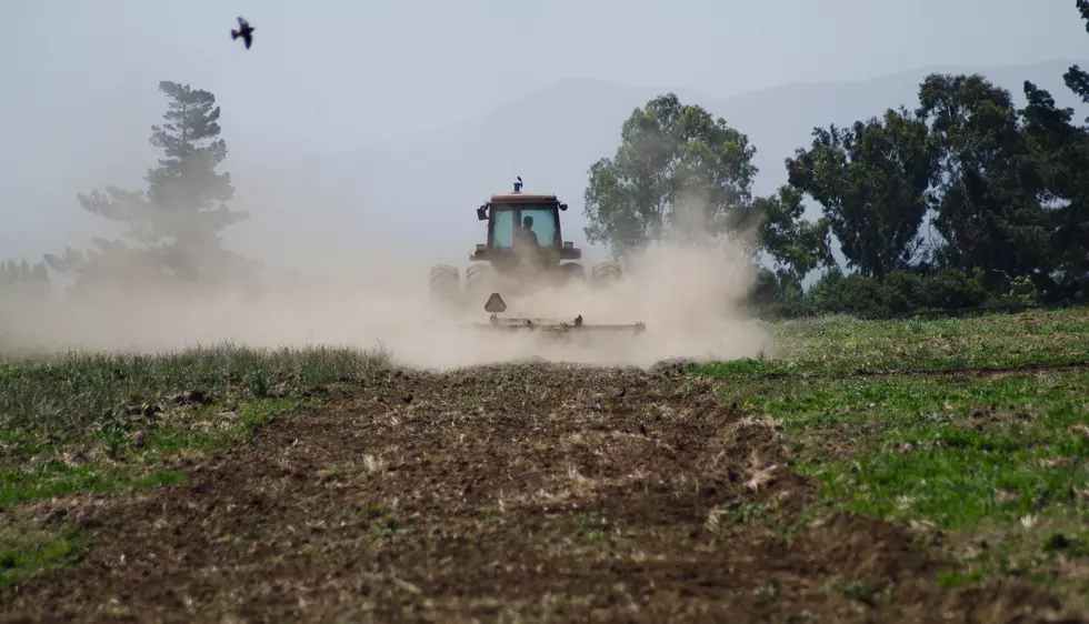
Oregon Snowpack Concerning For Early March
Several rounds of storms in late February and early this month brought snow to most of the Northwest, but unfortunately not everyone received a lot of the white stuff. Scott Oviatt with NRCS-Oregon said while many basins improved their snowpack from January 1st to now, there’s still reason for concern when looking at the southern half of Oregon.
“Where we are still below normal in terms of snow water equivalent as well as water year precipitation, the water received both frozen and in liquid since October 1st. So we’re still 96% of average state wide, but as I mentioned the southern half of the state is not receiving the impact that we’re seeing north of essentially from Eugene to Ontario north.”
When it comes to snowpack totals in the basins across Oregon:
- The Umatilla-Walla Walla-Willow is 137% of average
- The Grand Ronde-Burnt Powder-Imnaha is 127% of average
- The John Day is 119% of average
- The Hood-Sandy-Lower Deschutes is 122% of average
- The Willamette is 106% of average
- The Upper Deschutes-Crooked is 104% of average
- The Malheur is 107% of average
- The Harney is 107% of average
- The Rouge-Umpqua is 88% of average
- The Owyhee is 80% of average
- The Klamath is 78% of average
- The Lake County-Goose Lake is 76% of average
While some snowpacks are in good shape for early March, Oviatt said it’s too early to celebrate.
“I think in the next two to four weeks we’ll have a better picture of what may occur in terms of snowpack melt out and run off. However, right now the forecasts are not very promising for long-term snow accumulations.”
Oviatt noted early March is traditionally the peak of the snow year.
If you have a story idea for the PNW Ag Network, call (509) 547-1618, or e-mail gvaagen@cherrycreekmedia.com
More From PNW Ag Network