Lohmann: Short-lived Heat Wave Not What Dryland Areas Need
The old saying goes, when it rains it pours. We’re not sure if theirs is an opposite saying, but if there is, the Northwest is currently experiencing it. From Corvallis east to Lewiston down to southern Idaho, the Northwest is baking under a short-lived heat wave. Marilyn Lohmann meteorologist with the National Weather Service says this dry spring is one for the record books. In fact, with the exception of a few showers in late May, the last significant perception event for much of the area occurred back in February.
“For that three month period, March through May extending from the Gorge to the foothills [of the Blues], the Dalles, Walla Walla and Pendleton, and even a few odd ones like up at Easton up on the Cascades saw their driest three month period ever. For Yakima and Hermiston, over to Dayton, and then the Tri-Cities it was 2nd and 3rd [driest]. And so Ellensburg it was our 4th driest on record and Goldendale their 6th.”
Lohmann pointed out that Central Oregon has fared better. Thanks to increased thunderstorm activity, Bend and Redmond saw their 9th driest March through May.
Lohmann said while this heat wave is expected to be short-lived, four to five days, in many ways it could not have come at a worse time.
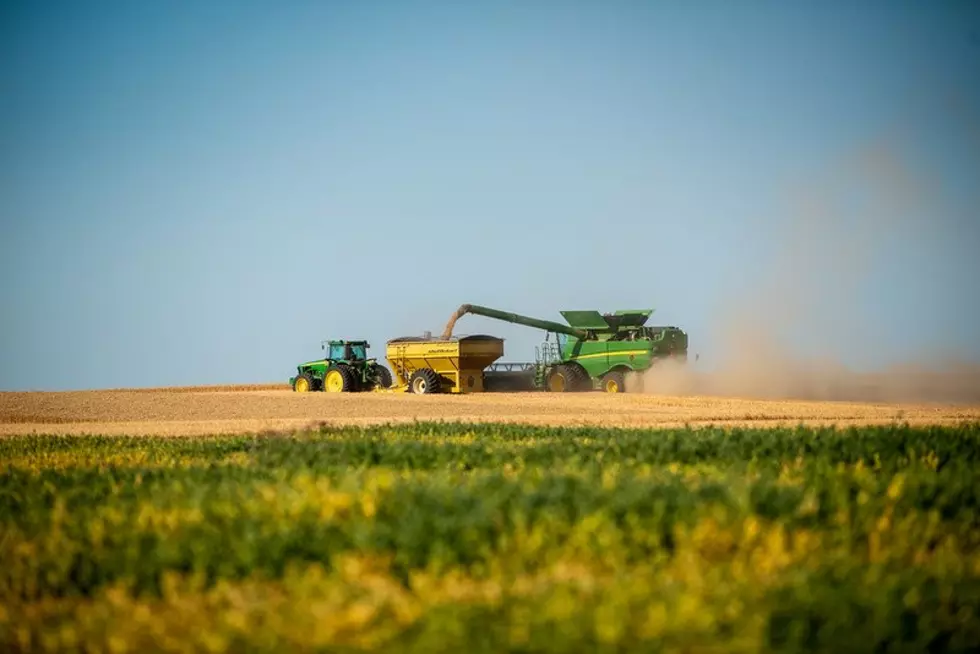
“Soil moistures are already so low in the dryland areas, and it just, I feel, is going to bake things. We were doing OK with those cooler temperatures, things were limping along but this just kind of shuts the doors on a lot of the crop production.”
Does this early June heat wave mean we’re in for a long, hot, dry summer? Find out by listening to our entire podcast below:
More From PNW Ag Network