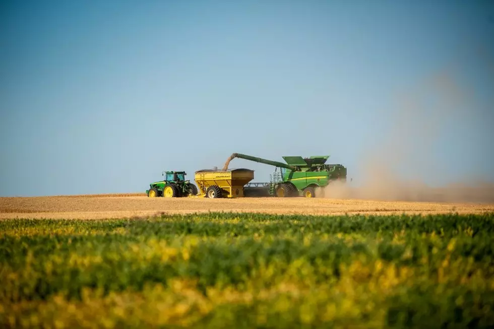
Active Weather Expected For PNW As September Comes To A Close
Over the past week or so, the Pacific Northwest enjoyed pleasant early fall weather, including a lot of sunshine and warm temperatures. But that came to an end Monday as a system rolled in brining rain showers and windy conditions. Marilyn Lohmann, meteorologist with the National Weather Service said the sytem dropped 1”-2” of rain along the crest of the Cascades, with Yakima and central Oregon falling into rain shadows, seeing very little precipitation.
“The system was then able to tap into some better moisture as it got further east with amounts from about ¼” to ½” from around the Tri-Cities east to the Idaho border, even some ½”or slightly higher amounts for northern Washington, the Palouse and the Blue Mountains. I’m just very glad to see those precipitation amounts actually be able to get to the ground.”
Lohmann says as this system moves out of the area, temperatures will rise with another chance of an isolated shower on Thursday. She noted the region’s next opportunity as sustained precipitation most likely wont come until mid-October.
“We’re getting into that time of year where little ripples in the weather pattern kind of make big changes over the area. So, in between time there could be a few passing showers but overall I don’t see a lot until maybe that 8th to 10th day period in October.”
By the way, Lohmann noted Tuesday morning the snow level dropped to 5,500’, meaning some of the higher peaks in the Cascades and Blue Mountains saw a few wet snowflakes.
If you have a story idea for the PNW Ag Network, call (509) 547-1618, or e-mail gvaagen@cherrycreekmedia.com
More From PNW Ag Network