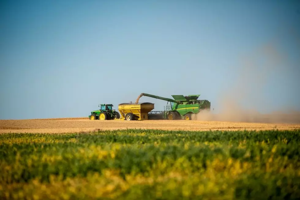
Cooler, More Active Weather Expected For the PNW
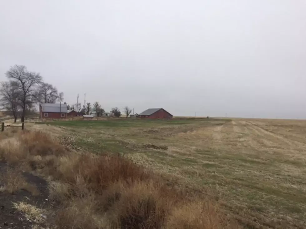
Thanks to a cold front moving out of Alaska and Canada, fall has made its presence known here in the Pacific Northwest, with temperatures dropping ten to 15 degrees since last week. And while the system that brought in the cooler weather brought with it windy conditions, rain showers were not a consistent. Marilyn Lohmann, meteorologist with the National Weather Service says two regions that have enjoyed increase rain fall over the past week or two include western Oregon and Washington as well as northern Washington. Meaning those areas are enjoying a good start to the new water year, which kicked off October 1st.
“We’re starting to see some increased flows in streams and rivers, but the soil moisture levels are still aren’t really responding like we’d like to see. We ended up the last water year with 50%-60% of normal across much of eastern Oregon and Washington. So, quite the deficit to overcome.”
But Lohmann said there is reason for hope, the long term forecast calls for increased storm activity this fall and winter with La Niña expected to develop this winter. And that increased storm activity looks to start as early as Monday.
“Next week, a large area of low pressure should set up just off the west coast and while this should keep rain going west of the Cascades, it looks much quieter east of the Cascades. Maybe some off and on showers, but mainly dry with seasonal temperatures. But it looks like we could see more active weather and hopefully a more wet pattern as we get to the last few days of the month again.”
With that system next week, Lohmann says she expects to see snow in the higher elevations, but with snow levels around 3500’, she said driving the passes should be uneventful.
If you have a story idea for the PNW Ag Network, call (509) 547-1618, or e-mail gvaagen@cherrycreekmedia.com
More From PNW Ag Network