Wetter Weather Expected In The Coming Days
It looks like the calm, sunny, stable fall weather will come to an end in the coming days across the Pacific Northwest. Marilyn Lohmann meteorologist with the National Weather Service says she expects robust activity over the next week or so. She says the first system moving into the area Wednesday will not be especially impressive, but the Friday/Saturday system could bring decent rain totals to portions of the Pacific Northwest. And that pattern is expected to continue into next week.
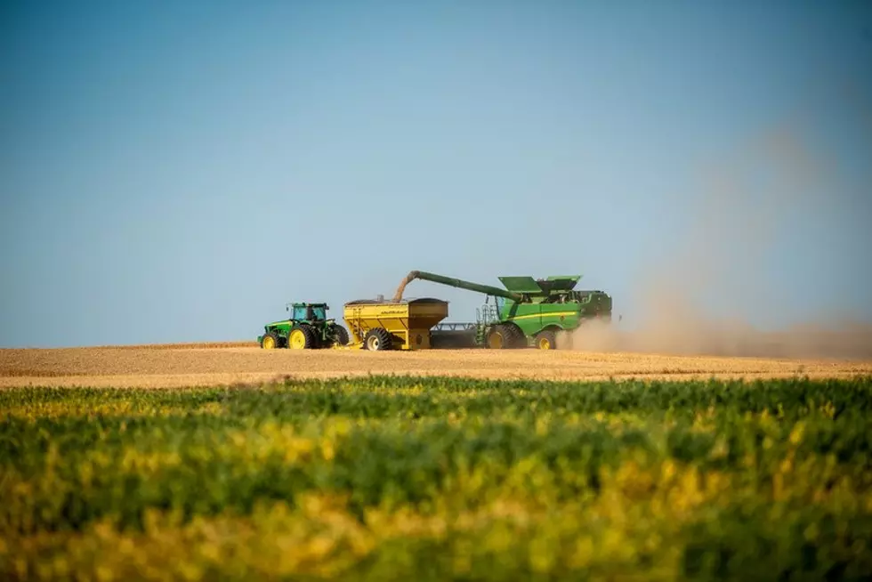
“So, instead of worrying about blowing dust, we might have to worry about some mud on the boots, and maybe some bad conditions for anybody trying to finish up field work and things like that. We will see the stream flows come up, but all the streams are at such low levels that, at this time, we’re not anticipating any risk of flooding. But, all in all, some very welcomed rain for east of the Cascades.”
With additional systems rolling in, Lohmann expects daytime temperatures to cool a little bit, while overnight lows will warm. Looking further down the road, the La Niña pattern continues to strengthen in the Pacific. During a typical La Niña, the PNW enjoys a wetter than average winter. And Lohmann noted the expectation for this winter is above average precipitation into January, February and even March.
“Generally cooler than normal, especially for northern and central Washington. As you get down into northern Oregon and further into southern Oregon it’s not quite as clear cut on the temperatures there could be some warmer air left down there. It all depends on that storm track.”
Lohmann noted the wet winter, whether it falls as rain or snow, is just what the area needs after a very dry and hot summer.
If you have a story idea for the PNW Ag Network, call (509) 547-1618, or e-mail gvaagen@cherrycreekmedia.com
More From PNW Ag Network