Cool, Active Weather To Start November
It truly feels like fall across the Pacific Northwest. Marilyn Lohmann meteorologist with the National Weather Service says temperatures have dropped considerably, with many locations reporting overnight lows near or below the freezing point, and daytime high slightly below normal. And that’s a pattern she expects to continue in the coming weeks.
“These cooler temperatures will kind of prevail with some we conditions until, it looks like mid-month, then we might have a little bit of a warm up to kind of even things out. You know how that always seems to work out by the end of the month.”
And while temperatures are expected to be slightly below normal, Lohmann anticipates above normal precipitation, thanks to an active weather pattern.
“We’re getting systems every 36-48 hours, with some breaks around 72 hours, but they are continuing to roll through. And we see those systems kind of lined up over the western part of the Pacific, and on around the globe. It’s a very active pattern.”
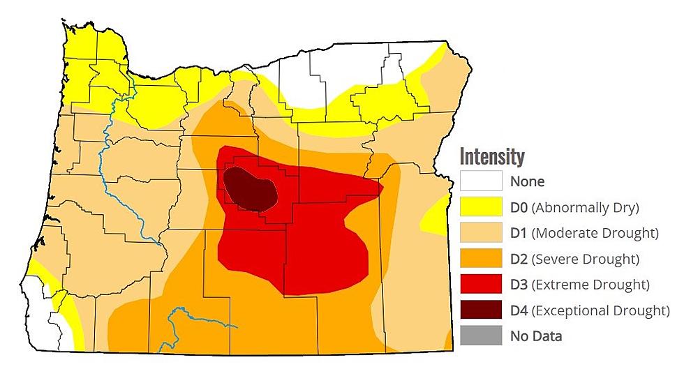
Lohmann noted while the current water year is off to a good start, drought conditions continue across much of the Inland Northwest, thanks to very dry conditions for the past 15 months.
With cooler temperatures and more precipitation, will we see snow anytime soon? Listen to our entire Ag Weather In Depth podcast.
If you have a story idea for the PNW Ag Network, call (509) 547-1618, or e-mail gvaagen@cherrycreekmedia.com
More From PNW Ag Network


