Lohmann Expects Upcoming Systems To Bring Much Needed Rain Snow
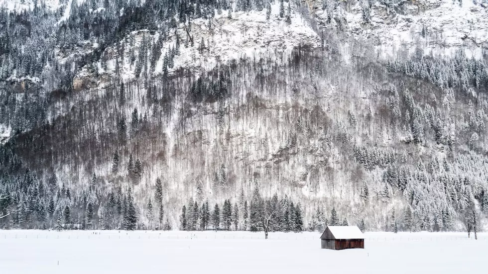
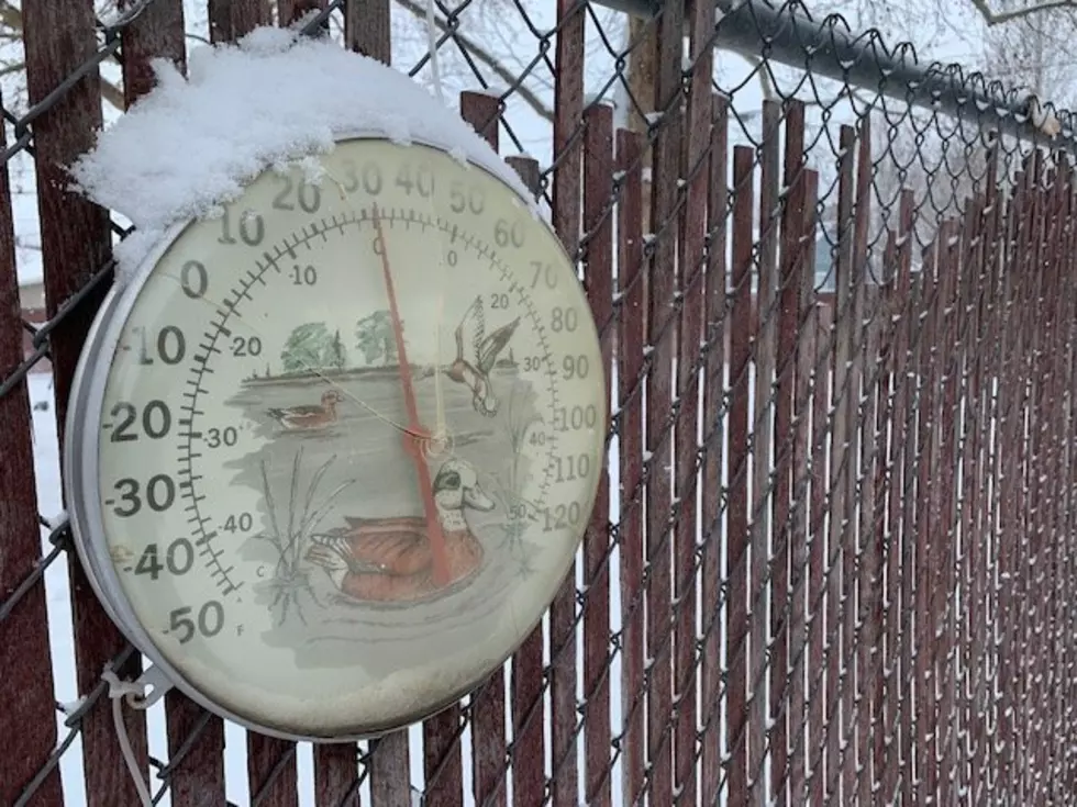
This mild weather has made traveling through area passes very easy for early December, but unfortunately it’s done a real number on the snowpack for this time of year. Meteorologist Marilyn Lohmann, with the National Weather Service, said that could start to change Wednesday. She noted that several systems are set to roll across the Pacific Northwest, with the strongest expected over the weekend.
“And it should bring rain to the lower elevations, possibility a little bit of snow mixed in during the late night/early morning hours, with snow levels around 2,000’. So, we should see some good mountain snow with these systems. We’re just on the verge of turning that corner and moving into a new weather pattern.”
Lohmann noted some locations across northern Washington and extreme northern Idaho could see snow in the low lying areas.
Lohmann added she’s still confident that the snowpack will improve as we move into the winter months. She said La Niña conditions remain fairly strong off the coast of South America, and that is expected to continue into spring.
“We started off the early season with some really wet conditions and we hope that starts kicking in again for a lot of the region through December. Meanwhile the outlook for January, February and March calls for cooler than normal and wetter than normal conditions.”
Lohman added in the short term, she expects an active weather pattern with temperatures at or below normal.
If you have a story idea for the PNW Ag Network, call (509) 547-1618, or e-mail gvaagen@cherrycreekmedia.com
More From PNW Ag Network