Weekend Storms Helped Oregon Snowpack Considerably
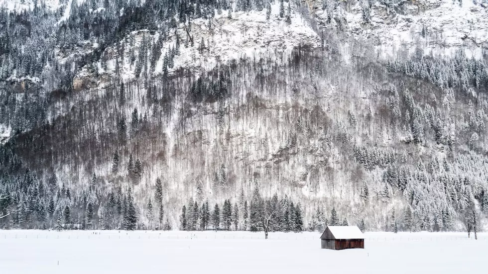
What a different a week can make when it comes to Northwest snowpacks. On December 6th Oregon’s statewide snowpack average was roughly 13%. But after the stormy weekend the region saw that figure has jumped up to 73%.
Scott Oviatt with NRCS Oregon said much of that fell in the Cascades, but he noted some of the snow made it over the mountains to central and eastern Oregon. He added when looking at the entire state, the northern portion of the state enjoyed a great weekend.
"If we drew a line essentially from Eugene to Ontario, those areas received the brunt of the storm impacts. Southeastern Oregon, the Klamath Basin eastward, not so much. Just due to the nature of the storm."
When it comes to snow basins across Oregon:
- Rogue-Umpqua 131% of average
- Willamette 107% of average
- Hood-Sandy-Lower Deschutes 92% of average
- Upper Deschutes-Crooked 78% of average
- Klamath 62% of average
- Lake Conty-Goose Lake 64% of average
- Harney 55% of average
- John Day 75% of average
- Umatilla-Walla Walla-Willow 93% of average
- Grand Ronde-Burnt-Powder-Imnaha 87% of average
- Malheur 76% of average
- Owyhee 26% of average
While the numbers have improved considerably, Oviatt called it a step in the right direction.
“In order for this trend to continue, obviously we need cooler temperatures. As you recall in October, November and into early December, we were above normal temperature wise. So, what precipitation we were receiving came in the form of rain, so we saw very little snow accumulation, if any. So, we did have this cooler system, the hope would be that would continue as we move through January, February and into early March.”
Oviatt added part of the hope is for a cool spring so whatever snowpack the state gets will slowly melt off, meaning more water during the heat of the summer irrigation season.
If you have a story idea for the PNW Ag Network, call (509) 547-1618, or e-mail gvaagen@cherrycreekmedia.com
More From PNW Ag Network


