Oregon Snowpack Shows Impressive Month Over Month Improvement
What a difference a month can make.
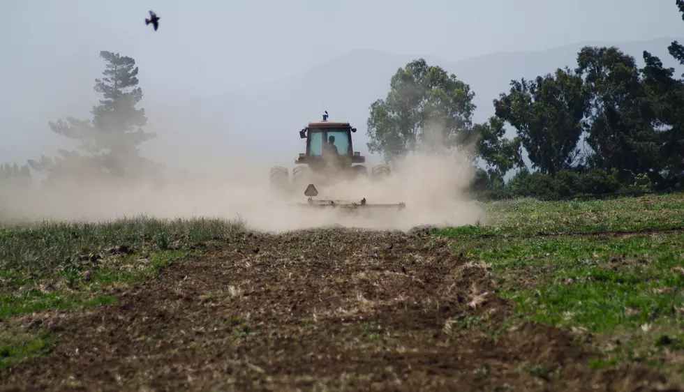
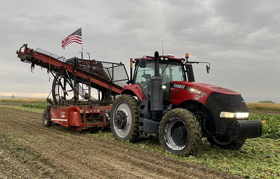
In early December, snowpacks across the state of Oregon were very low, causing some to worry about the upcoming irrigation season. But, according to Scott Oviatt with NRCS Oregon, a series of storms move in statewide from mid-December through early January dumping a lot of snow. He noted the snow not only fell in the Cascades, and Blues, but across extremely dry southern Oregon.
“We still are near the median level in a lot of the basins in terms of water year precipitation, so a majority of these events of snow have contributed in bringing up that value in terms of the water year precipitation. So, it’s a good start but we need the cooler conditions and the wet storms systems to continue.”
As far as the snowpack numbers at basins across the state:
- Umatilla-Walla Walla Willow – 117% of average
- Grande Ronde-Burnt-Powder-Imnaha – 112% of average
- John Day – 108% of average
- Hood-Sandy-Lower Deschutes – 122% of average
- Willamette – 116% of average
- Upper Deschutes-Crooked – 110% of average
- Rogue-Umpqua – 100% of average
- Klamath – 104% of average
- Lake County-Goose Lake – 123% of average
- Harney – 134% of average
- Owyhee – 145% of average
- Malheur – 98% of average
Oviatt said the numbers are looking much better that just four weeks ago, but he noted the region still needs help from Mother Nature, in the form of cool temperatures.
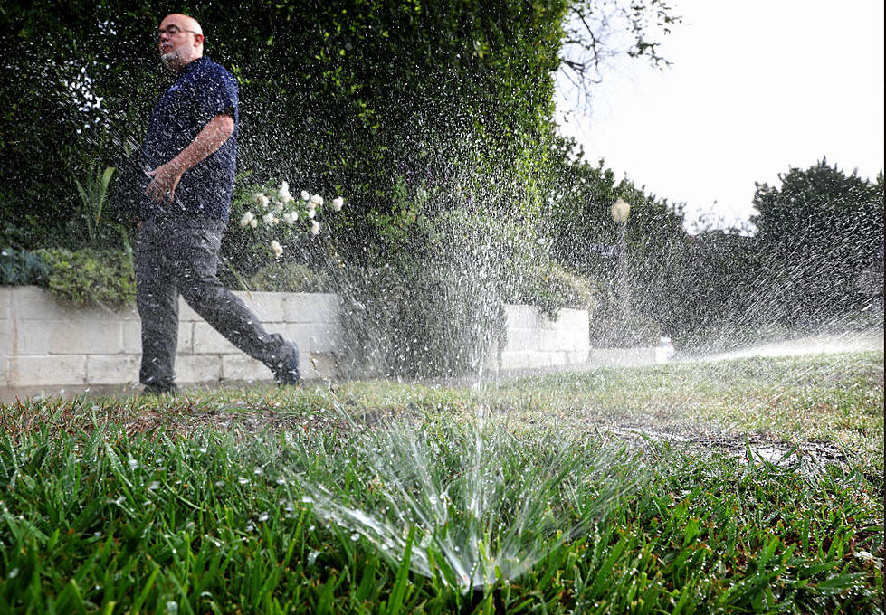
“The last ten years or so, we’ve had these periods of very warm, dry, for instance a month at a time in the middle of winter and of course we’ve had very early melt off out of our snowpack in April time frame where we lose all the benefits of the snow melt runoff in a two week time period and its not available in the spring or early summer for irrigation or for reservoir storage.”
If you have a story idea for the PNW Ag Network, call (509) 547-1618, or e-mail gvaagen@cherrycreekmedia.com
More From PNW Ag Network