Unsettled Weather Expected To Continue, But Not For Much Longer
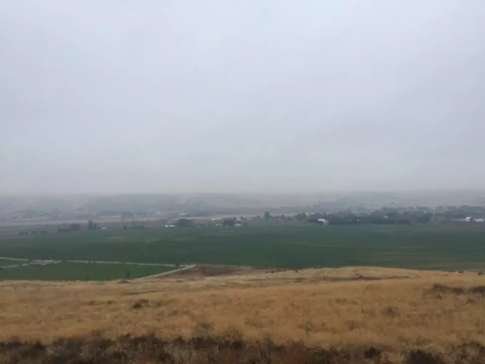
After a dry, quiet, and even boring winter, Mother Nature has kept the Pacific Northwest on its toes over the past month with a series of storms brining everything from wind to rain to even late season snow. But it looks like that active weather pattern will start to quiet down.
“We’re slowly seeing the march of the Jet Stream that does help bring us all of this weather, to the north, so, I think areas more up into Canada, and across the border area will see more precipitation as those storm systems continue to track through the region," said Marilyn Lohmann, meteorologist with the National Weather Service. "But, overall, I think we’ll see not totally dry conditions, but a lot less precipitation.”
But, Lohmann pointed out the active weather isn’t over quite yet. She said a new system will roll in Wednesday and Thursday, ushering in windy conditions and isolated rain and thunder showers. She added a second system is lined up to cross the PNW early next week.
But, as we look toward the end of the month, she said she expects more sunshine and warmer temperatures.
Could we see another winter influenced by Lan Niña? And what does that mean for the 2022-2023 winter? Find out by listening to our Ag Weather In Depth podcast:
If you have a story idea for the PNW Ag Network, call (509) 547-1618, or e-mail gvaagen@cherrycreekmedia.com
More From PNW Ag Network