Cold Temperatures In Mid-April, Blame La Niña
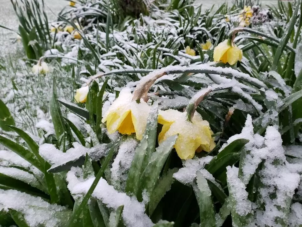
Just went you thought winter was done with the Pacific Northwest, a new system rolled in Sunday and Monday, brining snow showers across the region. Some locations, including the Tri Cities and Portland, saw record April snow totals this week. Marilyn Lohmann, meteorologist with the National Weather Service says the High Pressure that dominated the area during much of February and March moved out into the Pacific, allowing colder, wetter weather from Alaska to moved down. She added the colder temperatures have allowed the snow and rain to more easily soak in the ground, which is great for area drought numbers. She added the cold air temperatures have put soil temperatures on hold.
“Eight-inch depth, not too many changes, but the 2” depth dropped way back into the 40s. So, where we were starting to see a lot of active growing getting going and the asparagus and things like that, that’s all kind of been put on hold I think for the week or probably a little bit longer time frame as well.”
Lohmann noted the colder, wetter conditions can be blamed on our friend La Niña.
“You know, we’ve got a lot of ground to make up across the Northwest, and hopefully we are able to get some of that going, in regards to making up for drought conditions, and just keeping the snowpack in place; we were melting awfully quickly. So I think a holding pattern for a little while with colder temperatures and mountain snow will be a good thing.”
The big question is how much longer will these cold, wet conditions stick around?
If you have a story idea for the PNW Ag Network, call (509) 547-1618, or e-mail gvaagen@cherrycreekmedia.com
More From PNW Ag Network