Washington Snowpack 80% of Average
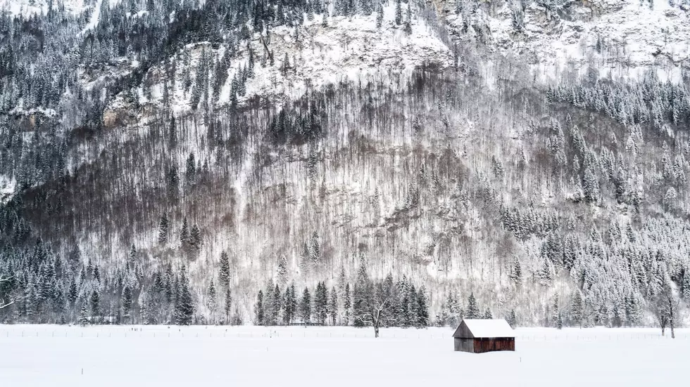
The 2021-2022 Washington snowpack has been consistent, consistently disappointing. According to Scott Pattee with NRCS Washington, the statewide snowpack is hovering around 80% of average as we head into the final weeks of the snow season. He noted like February and late January, March was a dry month with above normal temperatures, cutting into that already thin snowpack. Pattee acknowledged the storm that rolled in this week dropped snow in the higher elevations across Washington, improving the snowpack numbers by roughly 4%.
“However, the problem is this was a really cold storm, unseasonably clod I think, and so we got lots of depth which the skiers and boarders love, but there wasn’t a lot of water content. And so, adding to our pack which is the really important thing just didn’t happen.”
Pattee noted that April 1st is a big date when it comes to snowpacks. He said that is typically when basins across Washington max out for the season, but he noted basins this season peaked out two to three weeks early.
“However, the good news is some of this later snow is helping, at least up in the Cascades, and those areas. I think the eastside basins, we’re already too far gone for this last snow to really do that much good. It will slow the melt out a little bit and hopefully we’ll hit more of a normal melt out date on some of those basins.”
What does Pattee expect for the upcoming irrigation season? Listen to our entire conversation below:
If you have a story idea for the PNW Ag Network, call (509) 547-1618, or e-mail gvaagen@cherrycreekmedia.com
More From PNW Ag Network


